
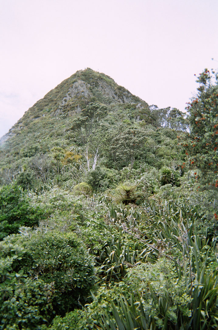
Late morning one weekend the fog had not cleared, yet the sun was high in the sky. Made for some interesting well lit but limited view scenery.
photos and other things…
Late morning one weekend the fog had not cleared, yet the sun was high in the sky. Made for some interesting well lit but limited view scenery.


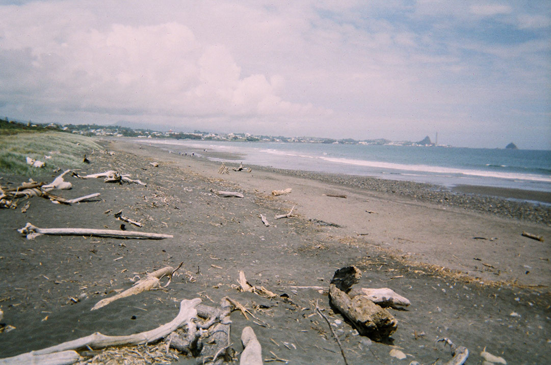
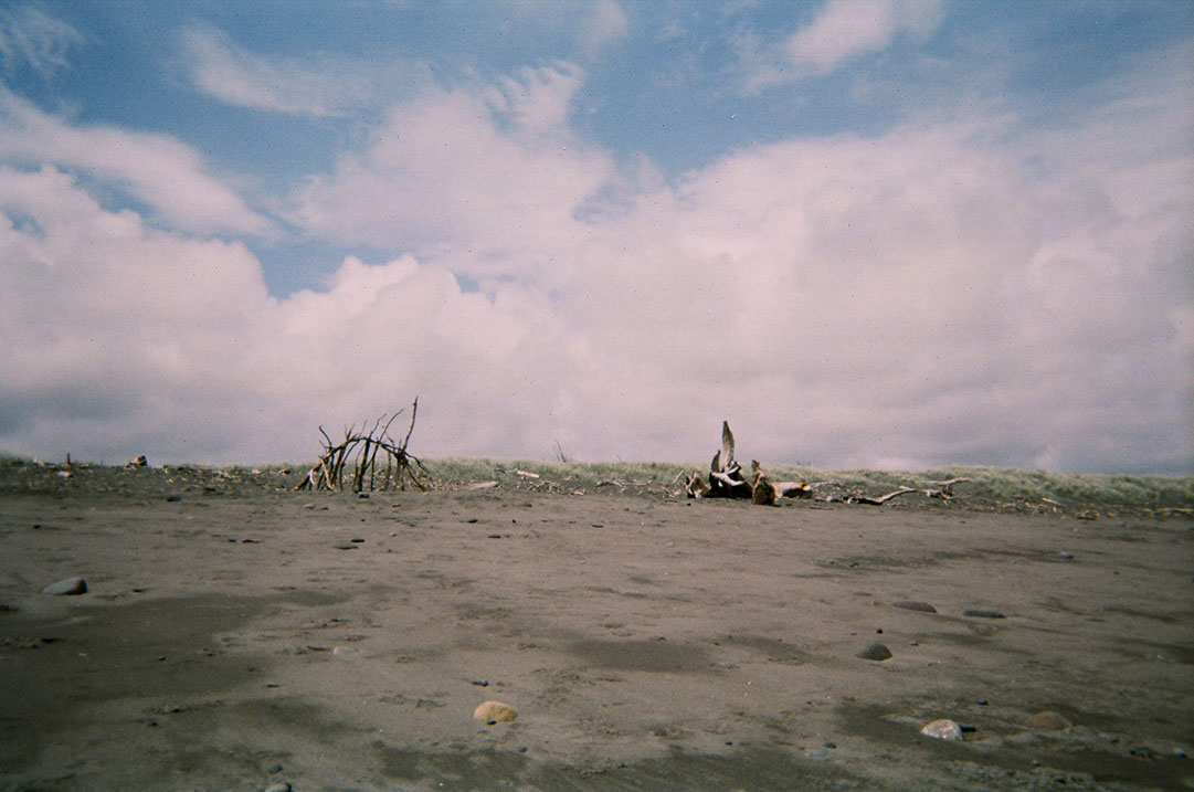
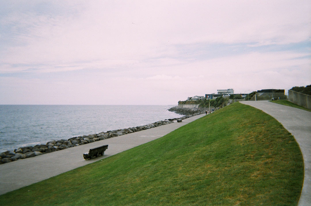
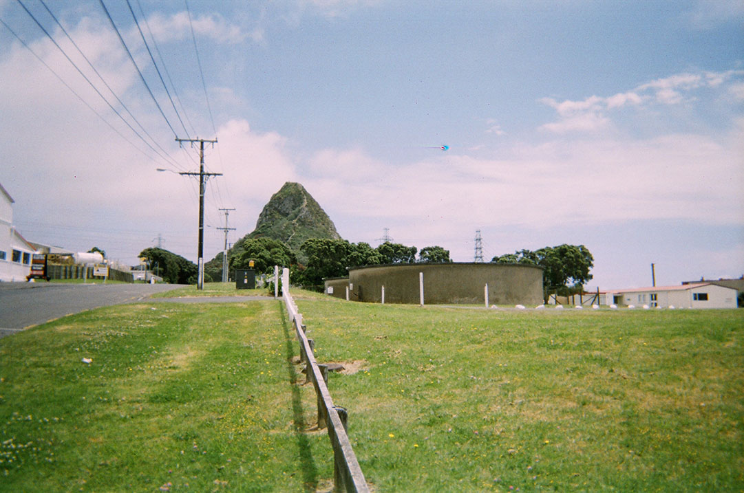
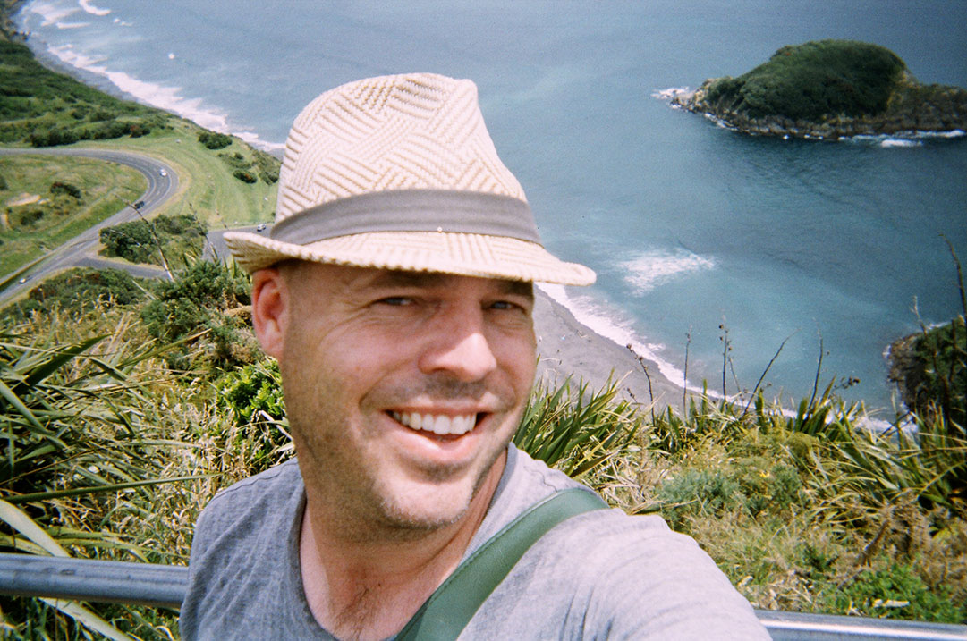
 I mentioned over Christmas at New Plymouth that I had brought along an old disposable camera as well as my Sony. Simple, point and shoot with a plastic lens and low cost 35mm colour film. Well, the developing/scans came back. Amazingly all exposures were fine – not great, but thats the lo mo plastic lens way.
Anyway, here is a bit of a visual walk of the coastal track from the mouth of the Waiwhakaiho river, to the Paritutu Rock. The track itself extends beyond the river, but I actually stated half way, walked to the river and then back tracked to the rock – maybe next time I will try and get dropped off at one end or the other rather than the middle! For a bit of an indication of the distance, in the first image you can just see the rock in the far right…at a very poor horizon angle… (or the middle of the second shot)


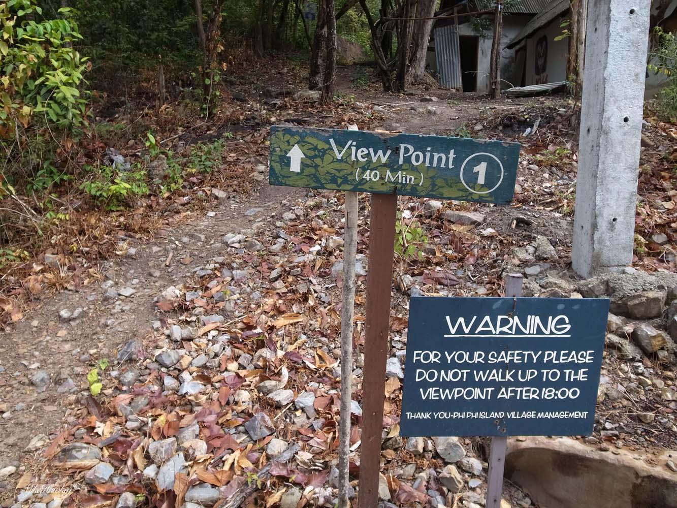
A new morning had me heading up to a spot I had seen the previous day when venturing outside camp – View Point. Unsurprisingly, I later learnt that view point is just a generic term used on the island for various walks that led to a view. I’ll always remember this one as View Point however. So, heading off after a large buffet breakfast, sweating at the beginning of the climb in the hot and humid climate I entered the walk.
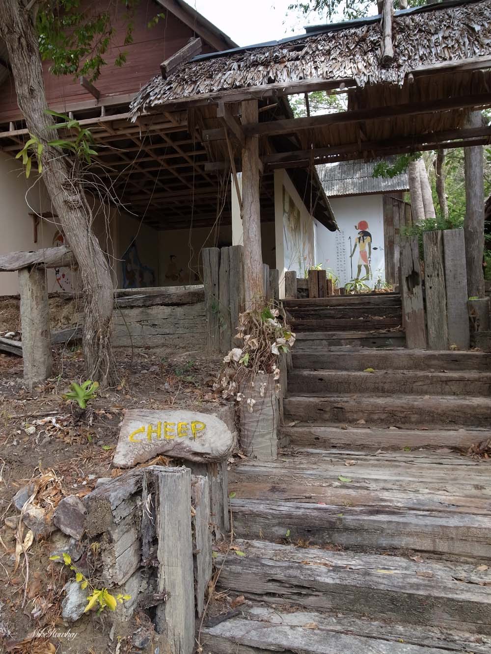
At the bottom, just to the right of the main photo was this open plan building. The sign ‘cheep’ suggested perhaps some backpackers use it for evening camp – but being at the beginning of the bush and open plan, Im not sure I would survive the mosquitoes!

Clearly some KISS fans from days gone by also (note trash under rotting leaves).
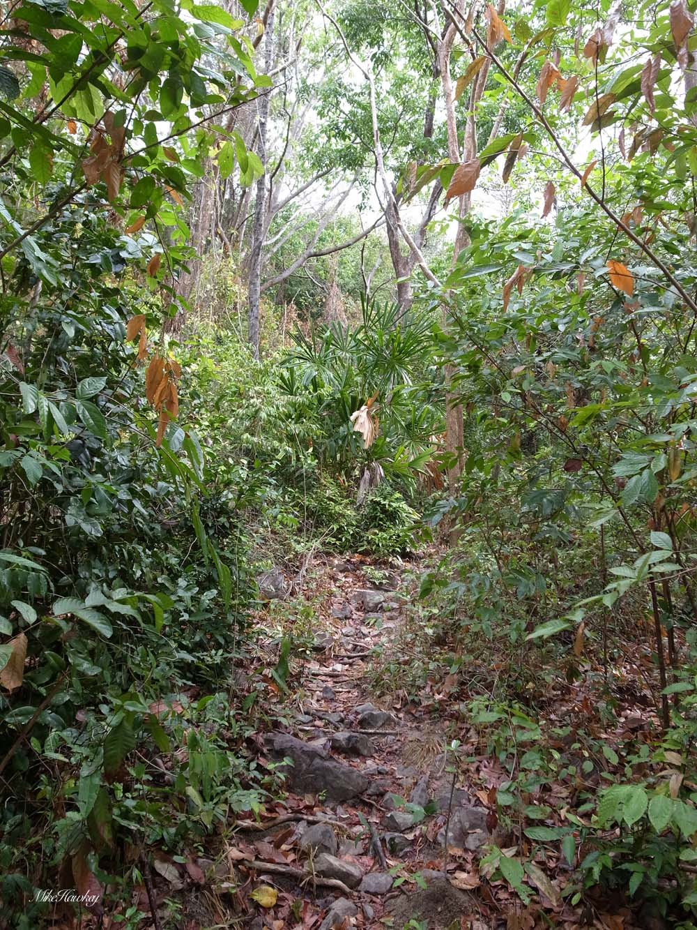
Almost immediately the track started a fairly steep, long and uneven climb. I could see why the sign said not to go after 6pm – loose rocks, tree roots and at times hard to see track would quite easily get someone lost or injured. As I ventured up, I was soon to see how I too has misjudged the simple lookout point walk.
Entering the bush area the humidity and temperature grew (also it was warming up from the previous night). Full on breakfast, I had failed to pack any water. Back home a 40min walk is quite manageable. The temperature and constant climb were taking their toll. I was loosing a lot of fluids, and then was hit by a wave of dizziness, sight and hearing diminishing. Now, Ive never passed out in my life, but I can only assume that was what was about to happen. I sat down on a rock, put my head between my legs and waited. That water would have been quite good right now! Sitting and waiting all you can do is think. I had no water, no communication device (just my camera!) and was in no fit state to try and head down the steep and uneven terrain back to people. Reflecting on it now, I was foolish not taking water, and Im still amazed how quickly this track took it out of me.
I don’t know how long I waited, but I eventually felt like I could stand again. I didn’t want to be beaten by this 40min View Point. Rather than head back like sensibility would do, I pushed on ahead (now taking mini breaks). Shouldn’t be too far to the top!

An it wasn’t!

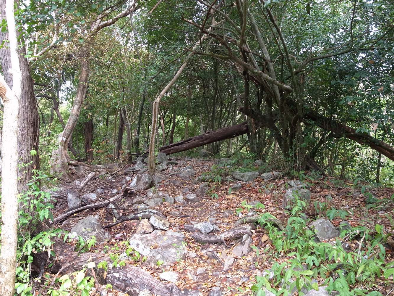
Its always hard to judge height when you are on a track. What looks like the top of a hill often is not. You scale one mound, only to be confronted by another. I wasn’t sure how high I was at this point. The trees had thinned out. The view was fairly good. The sun was scorching out of the shade of the trees! The sign ’10 min’s’ wedged in a tree indicated I was nearing the top. I had to make it now and pressed ahead.

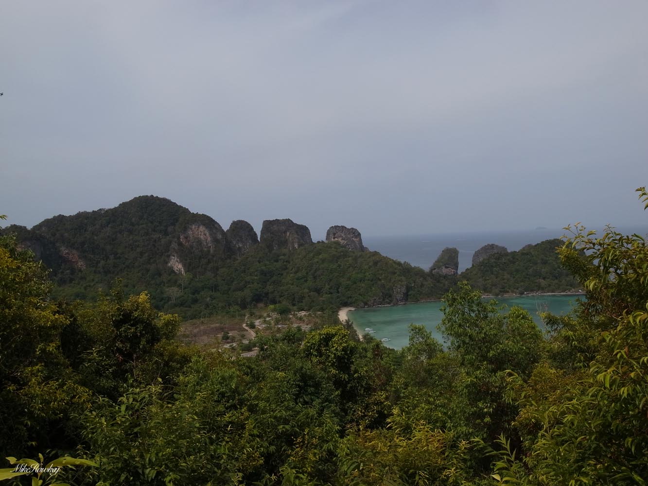
And there it was!, View Point! Half obscured by the ever growing trees, what I could see was nice.
After viewing, resting, resting and some more resting, I began my descent back to ‘home’. Along the way (both there and back) I could hear the sounds of birds and monkeys (except for that bad part climbing up). I spotted this little one on the way down:

(can you spot it?)
Reaching the bottom, the first task was locating the nearest place that sold refreshments. I must have looked terrible when they served me! Next step was go for a cooling swim, and then a little nap.
More tomorrow!

Lake Wainamu and its Dunes, a genuinely amazing and diverse half day trip, I can whole heatedly recommend to all if visiting Auckland!
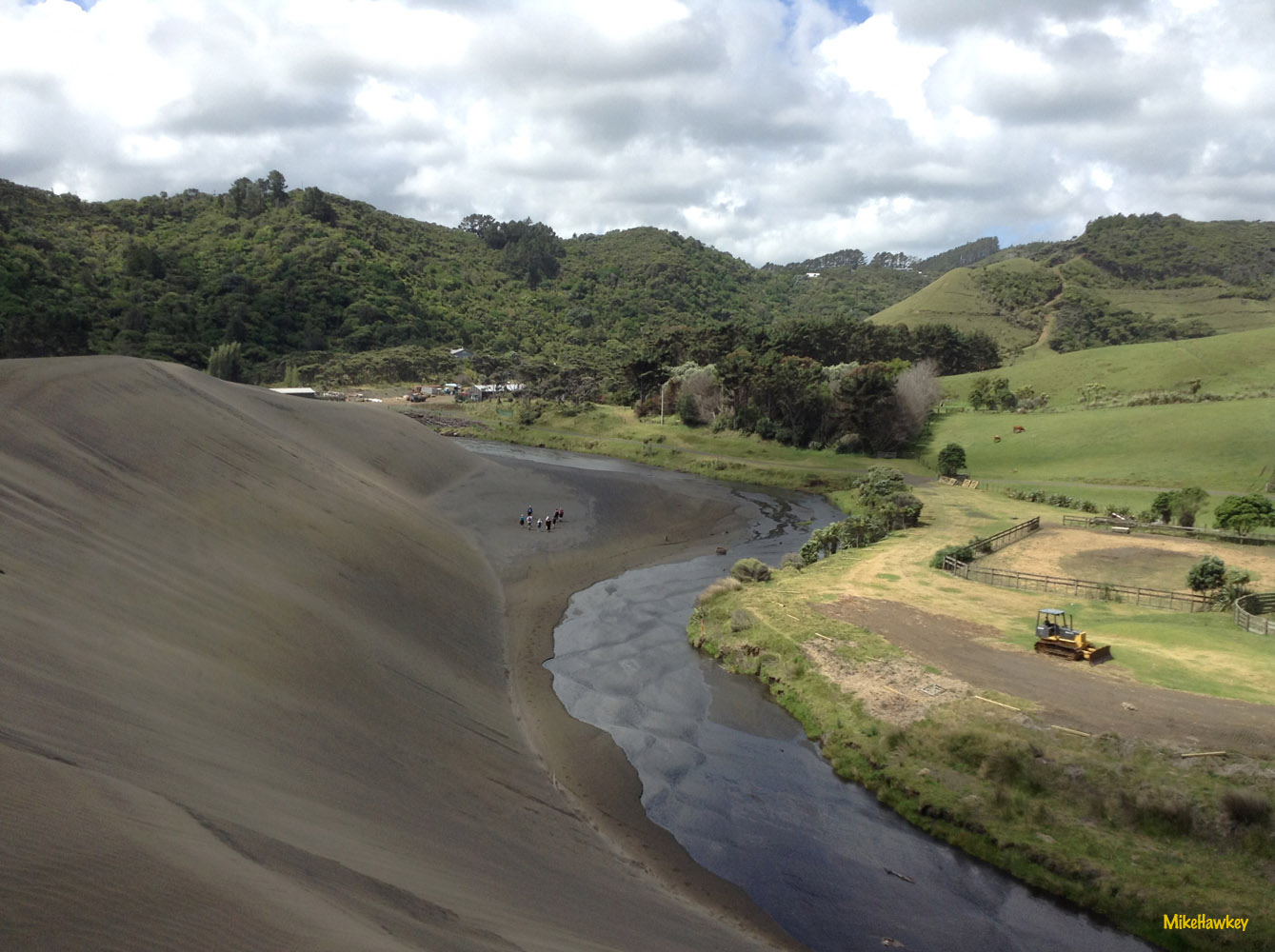
Catching my breath, I reach the top. It’s high! – but dunes just being a pile of sand, I find it hard to gauge the height. My work colleagues are small dots though.
Running across the crest of the dune, I gradually work my way back down to the river and the others. Wading through the river, it exits again in the bush, where we started, back to the car park.

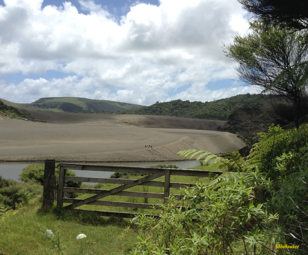
Down the valley, a river following the dunes, they rise above you like a giant wave of sand.
I climb up the side of the dune, having to dig my hands into the sides as well as feet, the soft sand and steep gradient giving one the feeling they could tumble back at any stage.
We hit the lake side, and then make a gradual climb up the hill beside it. Some of this land is still in private ownership, and the track access gifted to the local council for the use of the people (and visitors) of Auckland.
As we hit a gate at the top of the climb, the dunes come into focus again.
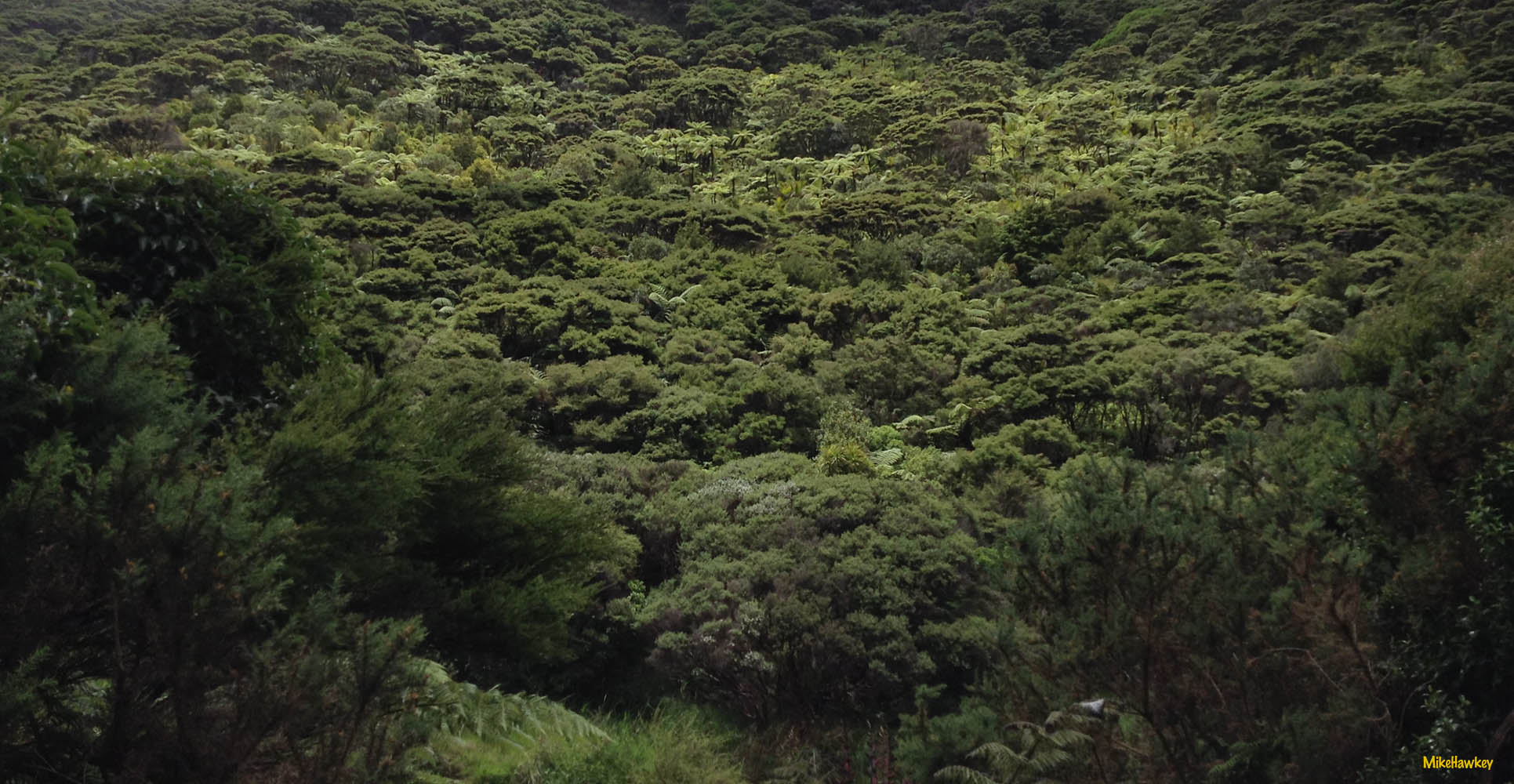
 Walking through the Bush, there are times when one is completely surrounded by threes, and other times when the view of the great lake open up in a clearing.
Weaving in and out of the bush, Tui’s and other native birds can be heard.On the far end of the lake we reach a small waterfall – a common stop point for tourists in the area.
After a short stop, we continue on the track again heading back towards Bethells and the dunes.
Taking another 15minutes heading straight up and over the dunes, on their less severe gradient side, we descend down and capture a view of Lake Wainamu.
Moving to the right of the lake, we find the trail and begin the one’ish hour circumnavigation of the beautiful still lake and lush green bush.
