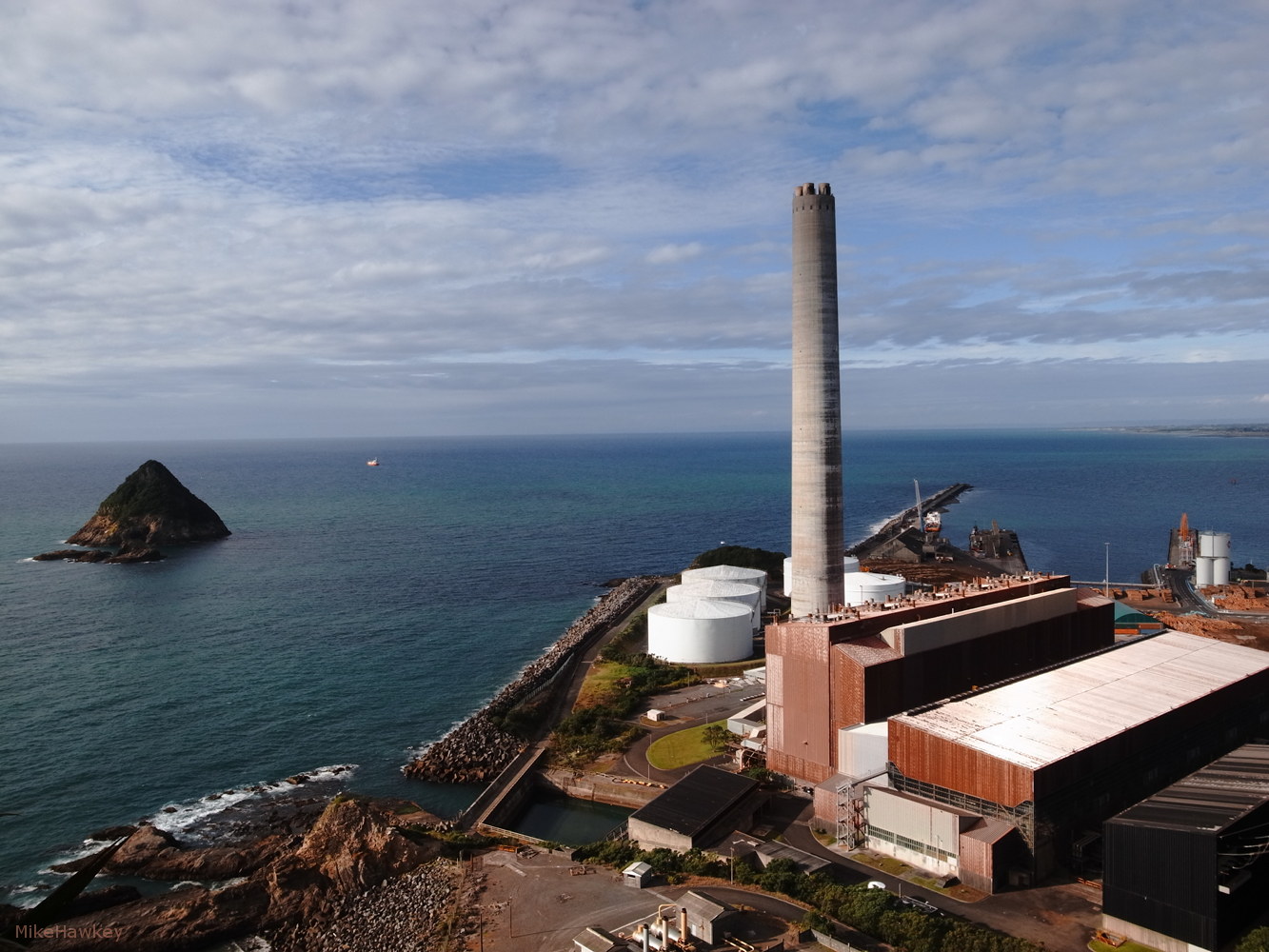
 One of my favorite shots from last weeks holiday in New Plymouth is from Paritutu – a tall headland point to one side of the main township. Looking down, under a falling sun I captured this image of the old power station, and offshore island.
The power station, a natural gas/fuel oil station was opened in 1974, and decommissioned in 2008. Asbestos discovery was noted as one of the reasons for the closure (NZ has widely banned any new use of asbestos for several years now, and its often very costly to deal with in old homes etc).
Off shore was see Sugarloaf island. The remainder volcanic vent piece from an estimated 1.7 Million years ago. Now part of a protected Marine area.
Shot on the GRD, resized in Gimp.