I mentioned over Christmas at New Plymouth that I had brought along an old disposable camera as well as my Sony. Simple, point and shoot with a plastic lens and low cost 35mm colour film. Well, the developing/scans came back. Amazingly all exposures were fine – not great, but thats the lo mo plastic lens way.
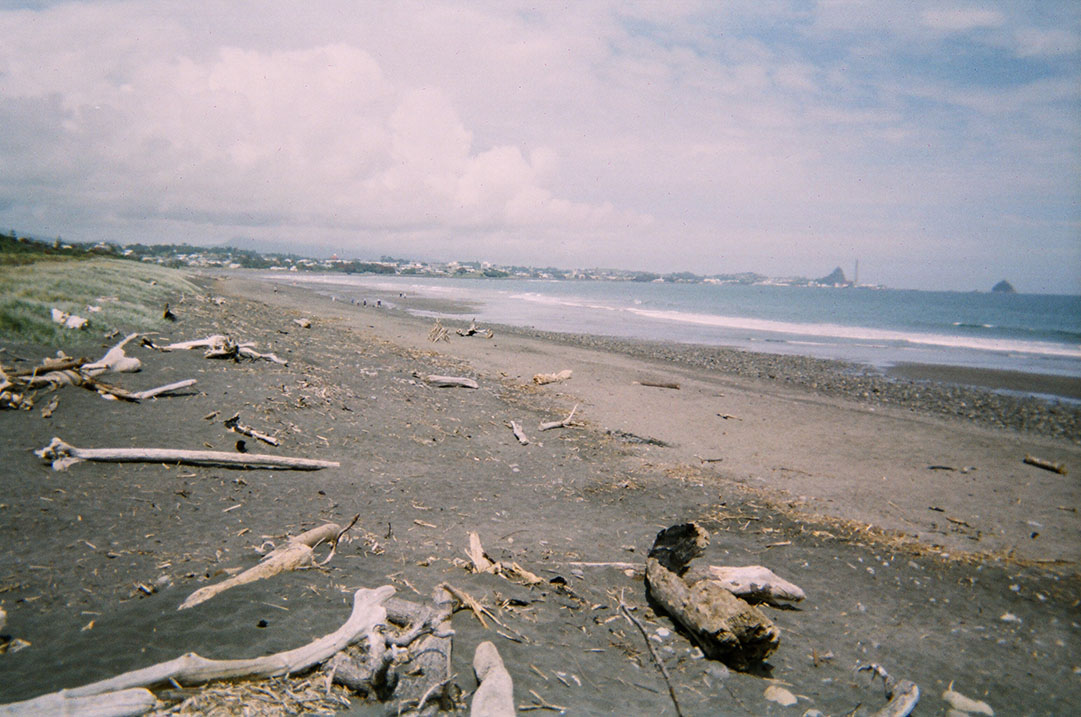
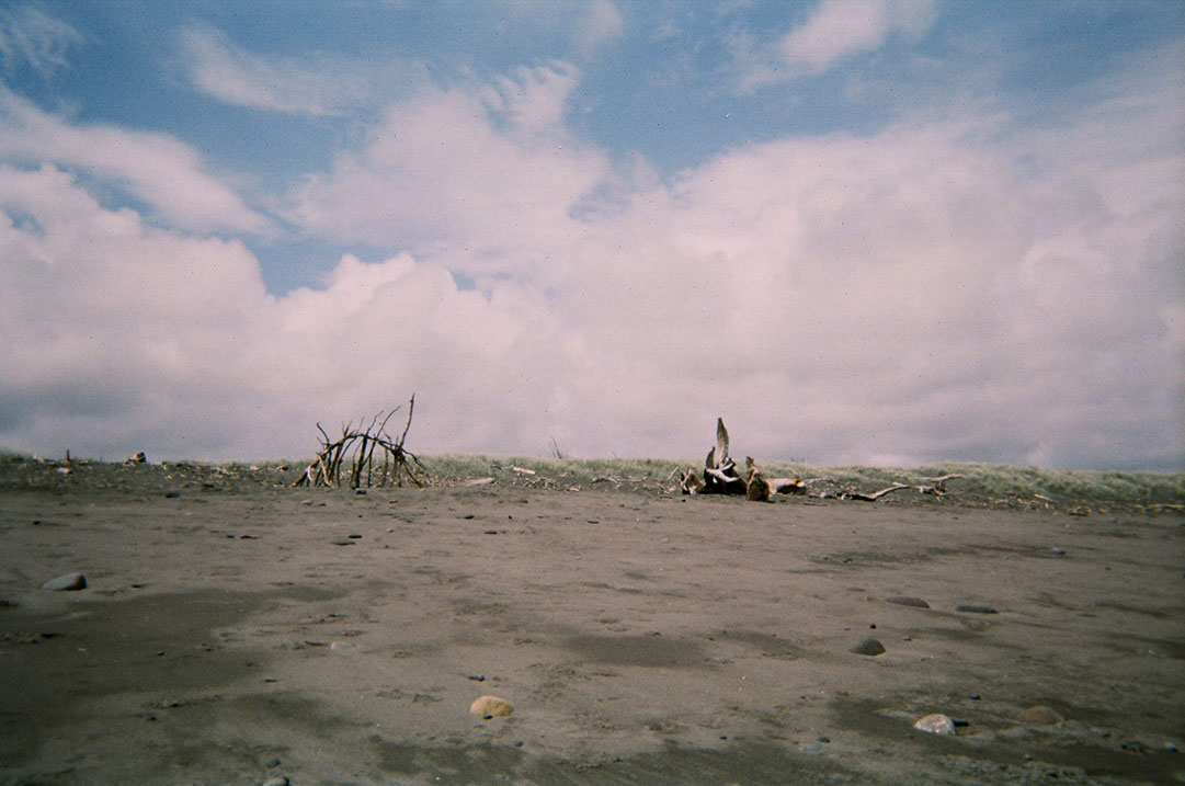
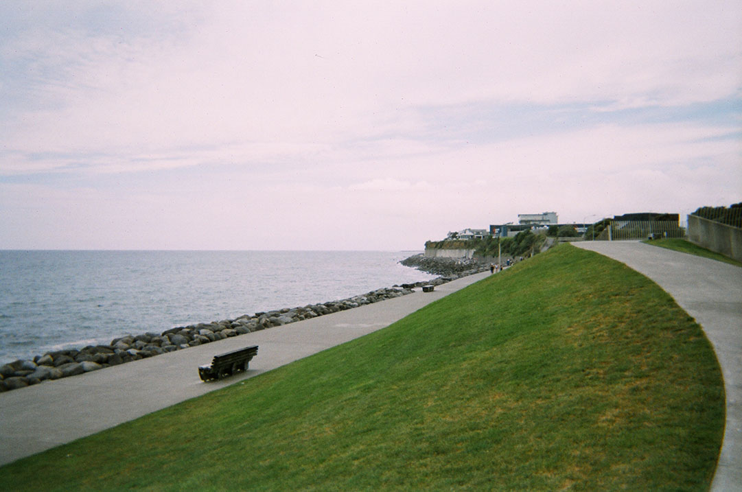
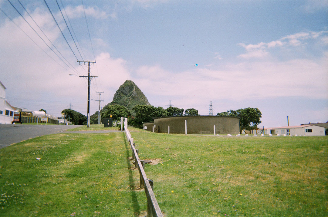
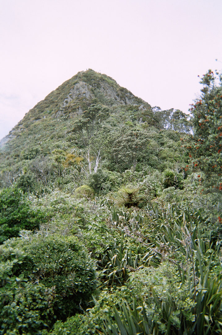
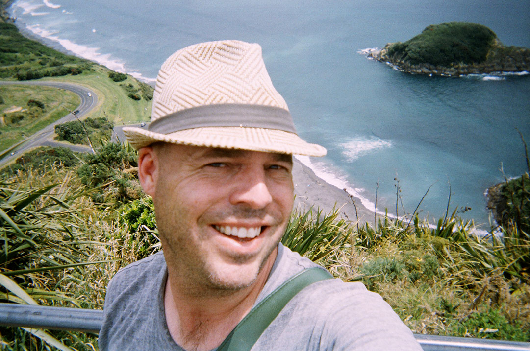
Anyway, here is a bit of a visual walk of the coastal track from the mouth of the Waiwhakaiho river, to the Paritutu Rock. The track itself extends beyond the river, but I actually stated half way, walked to the river and then back tracked to the rock – maybe next time I will try and get dropped off at one end or the other rather than the middle! For a bit of an indication of the distance, in the first image you can just see the rock in the far right…at a very poor horizon angle… (or the middle of the second shot)